
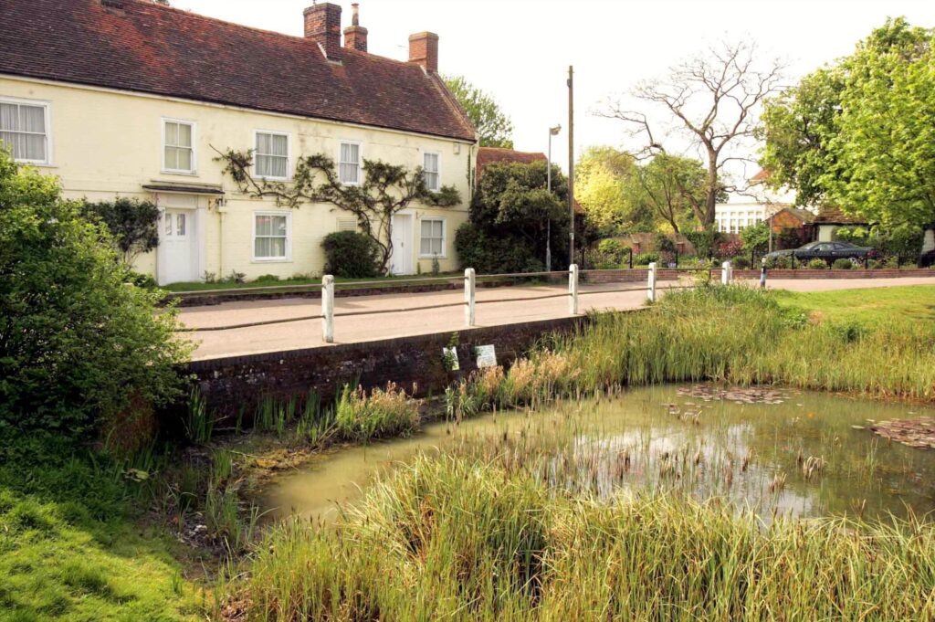
Great Bentley offers a network of public footpaths that link key parts of the parish, including routes between Heckford Road, Colchester Road, Sturrick Lane, Thorrington Road, Great Bentley Green, St. Mary’s Road and surrounding countryside.
These paths form part of Essex’s wider Public Rights of Way system, supported by an interactive map provided by Essex County Council, which complements the official Statutory Definitive Map.
Perfect for gentle strolls or countryside exploration, the footpath network makes it easy to enjoy Great Bentley’s rural landscape.
PRoW Footpath Location
1 Heckford Road to Colchester Road (A133)
2 Sturrick Farm to Colchester Road (A133)
3 Heckford Road to Sturrick Lane
4 Thorrington Road to Great Bentley Road
5 Parish Church to Frating abbey
6 Clacton Road (B1027) to Thorrington Creek
7 Great Bentley Green to St. Mary’s Road
8 Hollybush Hill (B1027) to Marsh Farm
9 Weeley Road to Colchester Road (A133)
10 Birch estate to St. Mary’s Road
11 Plough Road (Ainger’s Green) to Frating Abbey Farm Road
13 Dead Lane to HollybushHill (B1027)
14 Cinder Path St. Mary’s FarmExplore further: www.greatbentleyparishcouncil.gov.uk/walks-public-rights-of-way/
No Records Found
Sorry, no records were found. Please adjust your search criteria and try again.
Google Map Not Loaded
Sorry, unable to load Google Maps API.
Clacton
www.essex-tides.comTide times for 17 June 2026
| Tide | Time | Height |
|---|---|---|
| High | 01:49 | 4.7m |
| Low | 08:08 | 0.8m |
| High | 14:21 | 4.4m |
| Low | 20:48 | 0.4m |