Explore the beautiful Essex countryside on this scenic 7.5-mile route, taking in farmland, creeks, and historic landmarks.
Route Directions
1. Start at Thorpe-le-Soken War Memorial
Head east along the B1033 towards Frinton/Walton. Pass Byng Crescent and a row of houses, then follow the roadside hedgerow. Turn left onto a field-edge footpath marked by a concrete fingerpost. After 400m, continue across the field to Damont’s Farm. Turn left along the lane, then left again onto Walton Road (take care – traffic can be busy here).2. Towards Landermere Creek
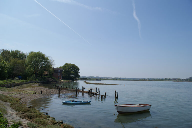
After 600m, turn right at signs for Landermere Farm and the distillery. The track bends right then left, offering lovely views before entering a leafy ‘green tunnel’. Opposite the first cottage, turn left along the field edge to reach the seawall. Enjoy views across Landermere Creek and Hamford Water. Follow the seawall path for about 1km, passing through gates and crossing the creek head to emerge at Cut Farm.3. Across Farmland
Continue opposite Cut Farm, passing barns and farm buildings. Follow the field-edge track, turning as directed by waymarkers. Cross footbridges and meadows, passing horse paddocks before reaching a road.4. Through Meadows & Plantations
Cross the road to the footpath opposite. Navigate fields and meadows via gates and stiles, then enter a tree plantation surrounding Beaumont Hall, a 17th-century private house. Follow the path through the trees and back onto farmland, then along a straight grassy track downhill and uphill towards a farm.5. Return to Thorpe-le-Soken
Turn right onto the road, then left onto a grassy bridleway beside iron railings. Pass horse paddocks and join St. Michael’s Road. Follow this to its end, then bear right to reach Thorpe-le-Soken High Street. Turn left to return to the War Memorial.Compass Points
- Distance: 7.5 miles (12 km)
- Start: Thorpe-le-Soken War Memorial (B1414/B1033 junction)
Grid Ref: TM181222 | Postcode: CO16 0HB - Parking: Thorpe-le-Soken Sports & Social Club (check first: 01255 861259)
- Public Transport: Buses 105/107 (Walton–Colchester) and Thorpe-le-Soken railway station (10-min walk)
- Map: OS Explorer 184 – Colchester, Harwich & Clacton-on-Sea
- Refreshments: Pubs, restaurants, and shops on Thorpe-le-Soken High Street
No Records Found
Sorry, no records were found. Please adjust your search criteria and try again.
Google Map Not Loaded
Sorry, unable to load Google Maps API.

Clacton
www.essex-tides.comTide times for 13 May 2026
| Tide | Time | Height |
|---|---|---|
| Low | 03:33 | 0.8m |
| High | 09:40 | 3.9m |
| Low | 15:55 | 1.1m |
| High | 21:58 | 4.0m |